Show HN: GeoImageTagger – AI image geotagging and metadata editor
By tosief
AI 摘要
Hacker News 讨论热度 12 points · 5 comments
原文正文
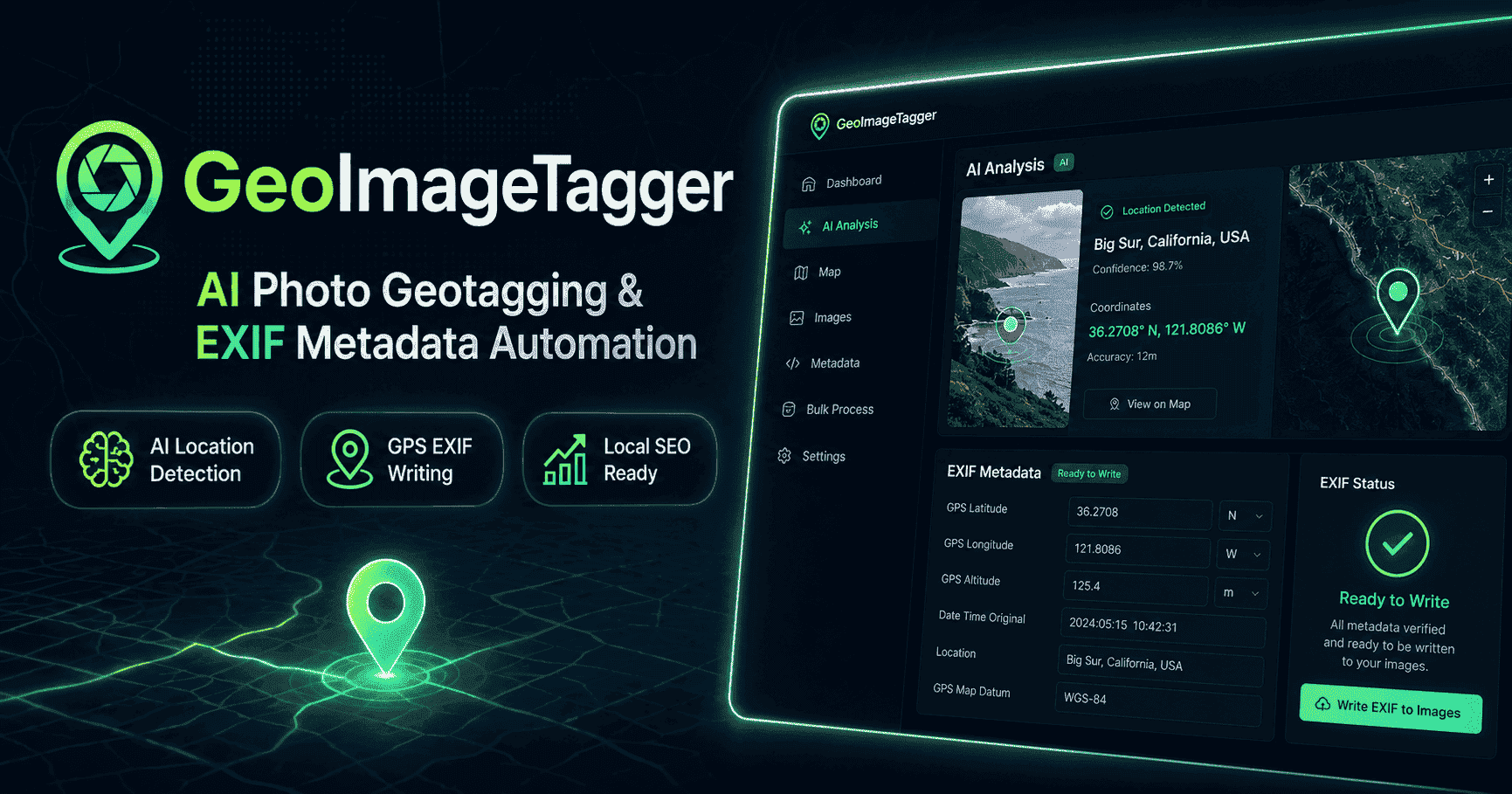
AI Photo Geotagging and EXIF Metadata for Teams and Local SEO
Add GPS location, AI-generated tags, descriptions, and EXIF metadata to your photos online — with bulk exports and map-based editing.
No credit card required for the free plan.
Upload Images
Drop images here or Tap to browse
JPEG, PNG, WebP, HEIC, or TIFF • Max 2 images • 10MB each
Supports JPG, PNG, TIFF, WebP, and HEIC. Max 2 images per batch • 10MB each
Loading map...
Five Simple Steps
Step 1: Upload Your Images
Select images from your device (up to 2 per run on Free, up to 10 on Pro). Supports JPG, PNG, TIFF, WebP, and HEIC. Choose AI Mode or Manual Mode.
Step 2: Set or Detect Location
AI analyzes your images and attempts to detect the location automatically. You can also search for a location, type coordinates, or click directly on the map.
Step 3: Generate Tags & Descriptions
AI generates SEO-ready tags and descriptions in your chosen language. Optionally enter a business name for context-specific tags. In Manual Mode, write your own.
Step 4: Review & Edit
Review tags, descriptions, and coordinates on a per-image basis. Every field is editable before processing.
Step 5: Process & Download
Click "Analyze & Tag" to write EXIF metadata. Download tagged images individually, as a ZIP bundle with JSON metadata, or export a CSV summary.
Everything You Need
AI Location Detection
Automatically identifies locations from visible landmarks, signs, and scenery using Google Gemini vision AI.
GPS & EXIF Writing
Embeds GPS coordinates, descriptions, and keyword tags directly into your image EXIF metadata using ExifTool.
AI-Generated Tags & Descriptions
Creates relevant, SEO-friendly keywords and natural-language descriptions tailored to each image.
Interactive Map Pinning
Search for a location, click the map, or type coordinates. Autocomplete suggestions powered by Geoapify.
Bulk ZIP & CSV Export
Download all tagged images as a ZIP archive with JSON metadata, or export a CSV summary for spreadsheets.
Wide Format Support
Works with JPG, JPEG, PNG, TIFF, WebP, and HEIC — covering standard cameras, phones, and drones.
Business SEO Tagging
Enter your business name to generate location-aware, brand-specific keyword tags optimized for Google Business Profile and local search.
Multi-Language Metadata
Generate tags and descriptions in 8+ languages including English, French, German, Spanish, and more — ideal for multilingual SEO. Arabic, Turkish, and more coming soon.
Who It's For
Local SEO Teams
Geotag photos of storefronts, offices, and local landmarks to strengthen Google Business Profile listings and location-based search rankings.
Field Inspections & Job Sites